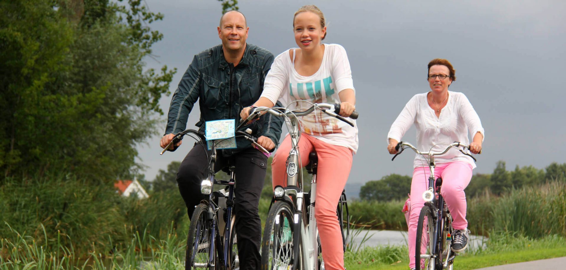
Having the Westeinderplassen nature reserve on the doorstep, the floral culture and the history of the Defence Line of Amsterdam and other sites of historical interest, make Aalsmeer an appealing area for cyclists and hikers alike. Park your car at one of the Tourist Transfer Points and cycle or walk the beautiful routes in and around Aalsmeer.
Tourist Transfer Points in Aalsmeer
A Tourist Transfer Point is a starting point where you can park your car, where you can charge your electric bike and where a café or restaurant is located for lunch or a cup of coffee. From here on, you set off on your bike or you go hiking through Aalsmeer and surroundings. A number of Tourist Transfer Points found in the Netherlands don’t just offer hiking and cycling routes, but also sailing routes. This is of course the case in our flower village on the water.
Starting from a Tourist Transfer Point you can cycle or walk a number of different routes, with or without signposting. Information boards showing a map of the area and places of local interest are prominently positioned at these locations. Aalsmeer has two Tourist Transfer Points:
- The Beach also referred to as Tourist Transfer Point Aalsmeer: located between junctions 86 and 96 on the route network.
- Café Op de Hoek also referred to as Tourist Transfer Point Westeinderplassen: located between junctions 07 and 25 on the route network.
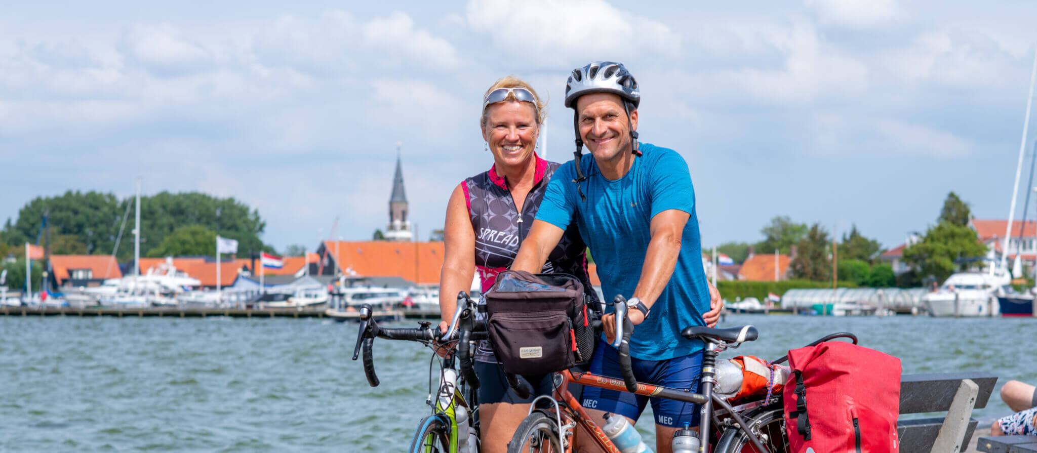
Cycling routes in Aalsmeer starting from a Tourist Transfer Point
The Westeinderplassen is the largest inland waterway in the Netherlands and Aalsmeer enjoys the benefit of lying along its shores. It’s not surprising that this nature reserve offers several scenic cycling routes. Trailing through nature, passing the water’s edge, and boasting gorgeous views. A “Rondje Poel” or “round trip” is what the locals call the 23 kilometre long cycle route around the Westeinderplassen. From Tourist Transfer Point Aalsmeer (The Beach) follow junctions 96, 95, 25, 07, 06, 05, 04, 03, 94, 91 and 96. From Tourist Transfer Point Westeinderplassen (Café Op de Hoek) follow junctions 07, 06, 05, 04, 03, 94, 91, 96, 95, 25 and 07.
Other scenic cycling routes in Aalsmeer and surroundings are:
- The Three Lakes Tour is 53 kilometres long.
- Bike tour : cycle 52 km through Kudelstaart, Aalsmeer, Amstelveen and Uithoorn.
- Fortress Cycle Route cycle along the 24-kilometre front line.
- The Historic bike route is forty kilometres long.
- As an alternative, you can follow the path through Aalsmeer with the help of this bike route.
Tip: Would you rather rent a bike? No problem! Pop into Waning Tweewielers bike shop to be found in Aalsmeer’s attractive village centre.
Hiking trails in Aalsmeer
The hiking trails from and around Aalsmeer offer an historical twist, interspersed with impressive countryside. For example, you can walk seventeen kilometres along the Vuurlijnpad (Front Line path) or nine kilometres along the Landscheiding (county border) path. Other scenic walking routes in or through Aalsmeer include:
- Historical hiking route: 15 kilometres long.
- The hiking route Hoofddorp Station to Nessersluis is 22 kilometres in length.
- A section of the Pilgrim’s Way: the hiking trip of 12 kilometres from the Amsterdamse Bos to De Kwakel .


