Not only is the land and water between Amstelland and Rijnland centuries old, it is also one of the most beautiful grass-covered dykes around Aalsmeer and Uithoorn. That is why this is the best walking route in Aalsmeer for panoramic views over lakes and polders. It also takes you along the Westeinderplassen. The nine km walk through this historic area is called the Landscheidings route.
Walking in Aalsmeer over grass dyke from 1165
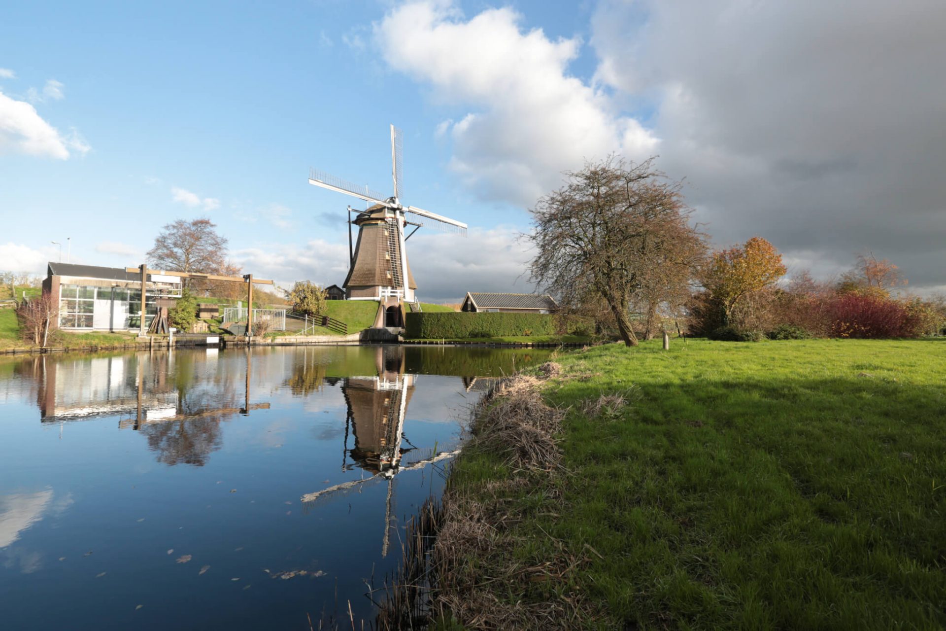
This grass dyke around Aalsmeer and Uithoorn dates to the year 1165. At that time, it was built as part of a long watershed between the Kennemerland and the Vechtstreek. If you look north, you will see the Westeinderplassen stretching out in front of you. If you turn to the south, you look out over the attractive hamlet of Bilderdam.
Landscheidings Route
The route takes you through the green setting of a classic Dutch river landscape: the Jaagpad along the Amstel-Drecht. A little further on you see the collection of boats and skippers from the Tolhuissluis. From the top of the ‘high land’ along the Amstel-Drecht, you can look down over the Zuider Legmeerpolder greenhouses. These lie at the bottom of the Calslager and Kudelstaarter lakes, which were not drained until the 19th century.
Landscheidings Route: Glass & Land walking route in Aalsmeer
The local councils of Aalsmeer, Amstelveen, Uithoorn and Haarlemmermeer are working together to improve the sustainability, quality of life and economic vitality of this area. The Glass & Land project was created in response to this and consists of four walking tours and cycling routes through the countryside. As well as the Landscheidings Route, these are the other walking routes:
- Vuurlijn route from Aalsmeer;
- Fort route from De Kwakel;
- Polderspoor route from Amstelveen.
Do want to find out about more opportunities for walking? View all the walking routes in Aalsmeer!


